



Roads, bridges, ground engineering and utilities are connected technical systems. Alignment changes affect earthworks; subsurface assumptions shape foundation decisions; hydrology and hydraulic constraints influence drainage; coordinated models and reliable schedules are needed to deliver the design. Effective infrastructure engineering links each decision to controlled information, documented assumptions and design reviews.
CTtec supports software selection, licensing, implementation, technical training and engineering workflows. The best combination of Bentley applications depends on the asset, the design stage, required checks, applicable standards and the organisation’s established delivery processes. A software suite is not a substitute for geotechnical investigation, independent checking or engineering judgement.
Where infrastructure projects lose information and time
Control interfaces between disciplines, rather than treating each model as an isolated deliverable.
Multidisciplinary coordination
Maintain common geometry, asset references, issue ownership and revision states across roads, structures, utilities and survey.
Design validation
Trace assumptions, load cases, model inputs, design codes and review status to an accountable engineering decision.
Ground uncertainty
Use appropriate ground investigations and sensitivity analyses; identify where assumptions control settlement or stability.
Delivery data
Preserve document versions, model exchange requirements and change histories through procurement and construction.
Buildability and sequence
Evaluate access, temporary works, construction stages and installation dependencies alongside permanent design.
Operations readiness
Prepare clear asset information and maintainable engineering records for handover and future interventions.
Connect alignment, terrain and road-corridor design
OpenRoads Designer supports road and corridor modelling, civil geometry, terrain and drawing production. Review horizontal and vertical alignment, earthworks, cross sections, drainage interfaces and clash/clearance issues through controlled design iterations. OpenRoads ConceptStation can assist earlier option and context studies; detailed engineering still requires design validation and approval.

Coordinate bridge geometry, analysis and structural detailing
Use OpenBridge Designer for bridge geometry, modelling and documentation workflows, with compatible analysis and structural design tools selected to suit bridge type and jurisdiction. STAAD.Pro supports general-purpose structural analysis and design checks for structural systems and components. Define the hand-off between civil and structural models; check staging, combinations and local design requirements independently.
Evaluate ground response and construction stages
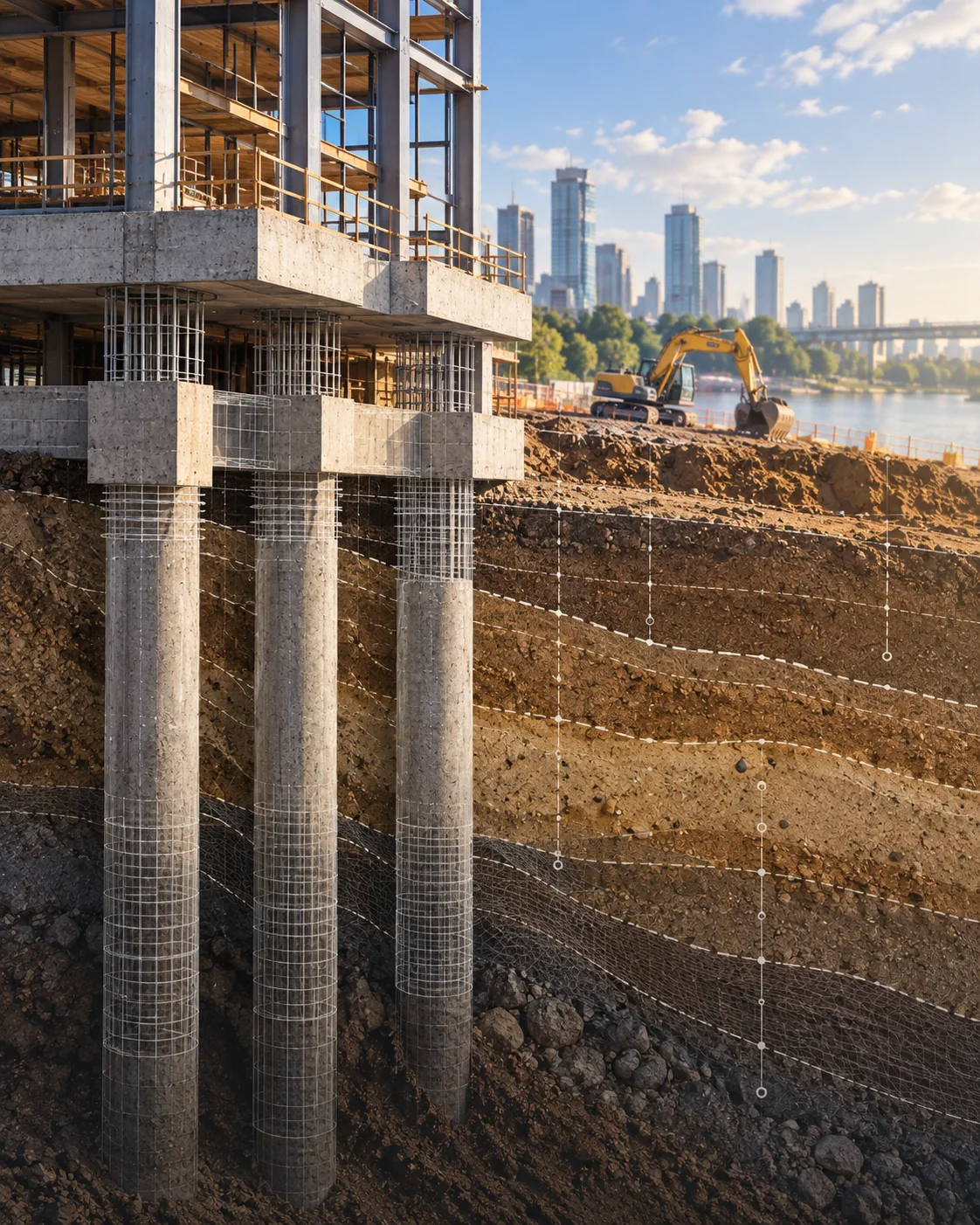
PLAXIS 2D and PLAXIS 3D provide finite-element workflows for geotechnical deformation, stability and construction staging. Select dimensionality, soil models, groundwater assumptions, constitutive parameters and boundary conditions to reflect the engineering question. Review sensitivity and observational data before interpreting settlement and stability results.
Soil–structure interaction
Assess interface behaviour and staged loading for foundations, excavations or earth-retaining works.
Construction staging
Represent excavation and ground improvement sequences with appropriate boundary and pore-pressure assumptions.
Model verification
Check mesh sensitivity, constitutive parameters, initial conditions and engineering plausibility.
Analyse networks and hydraulic performance
OpenFlows Water covers pressurised water-distribution modelling and scenario evaluation. Other OpenFlows applications support sewer and stormwater networks, transient events and hydraulic analysis depending on the current product scope. Calibrate against observations, validate demand and boundary assumptions, and define service pressures, redundancy and resilience checks.

A governed information workflow from design to handover
ProjectWise can help teams organise project documents, revisions and coordinated design information. Exchange discipline models against clearly defined information requirements and review procedures. Avoid treating a federated display alone as evidence of model consistency or contractual completeness.
Governed models
Maintain design revision, provenance and named ownership of model information.
Issue coordination
Connect clashes and review comments to the actual affected model revisions.
Approved deliverables
Control documents, drawing issues and exchange packages through formal review.
Connect model quantities with construction sequence
SYNCHRO 4D supports construction planning and simulation by connecting models with scheduling context. Coordinate construction phasing, temporary access, installation windows and stakeholder reviews. The quality of the output depends on sound schedule logic and suitably structured model breakdowns.

From feasibility to site-ready engineering information
01 · Establish context
Define terrain, survey, utility, ground and asset information requirements. Record uncertainties early.
02 · Create discipline models
Develop geometry and analysis models with common references and agreed design criteria.
03 · Analyse and validate
Check hydraulics, structures, ground behaviour and interface performance through documented calculations.
04 · Coordinate design
Review clashes and design changes; ensure updates reach every affected discipline.
05 · Sequence delivery
Relate model objects to schedule stages and construction constraints where relevant.
06 · Issue and maintain
Package controlled drawings, models, assumptions and review records for construction and handover.
Software used across these disciplines
Each link opens a CTtec product page. Availability, editions and official Bentley subscription terms must be verified for the specific project.
Choosing an infrastructure software stack
Do we need every application listed?
No. Select only the tools necessary for scope, handovers and validated engineering decisions.
Can one model replace engineering checks?
No. Each discipline has its own assumptions, design standards and independent review requirements.
How should licensing be evaluated?
Confirm current Bentley editions, subscription terms, actual users and enterprise eligibility before procurement.
How can CTtec assist?
CTtec can discuss selection, licensing, technical implementation, training and relevant engineering workflow requirements.
Discuss a specific infrastructure workflow
Share the asset type, current design tools, analysis requirements, project stage and team size. CTtec can help map product options and implementation/training needs.