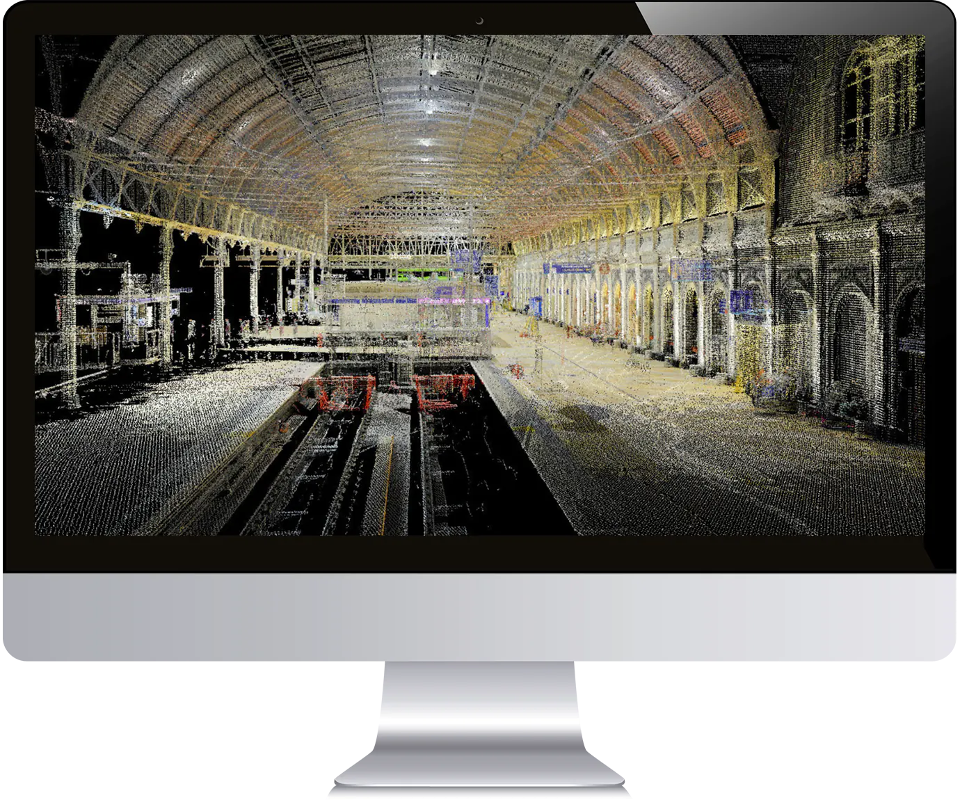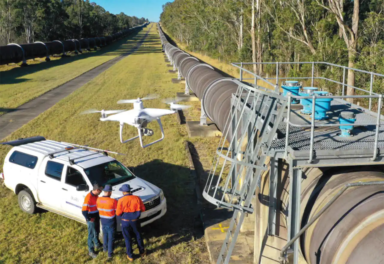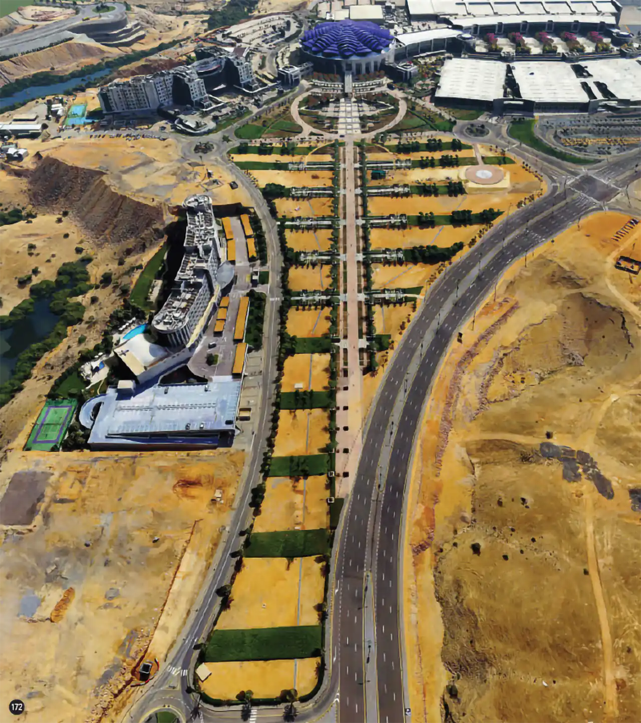
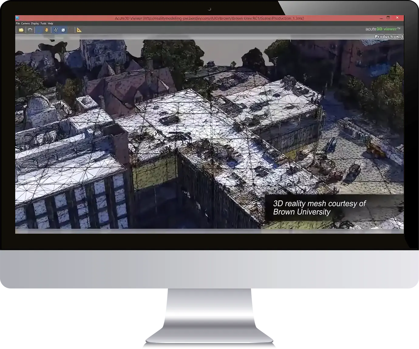
ContextCapture software allows users to create highly detailed 3D models of existing infrastructure, buildings, and other structures. It uses photographs and other data to automatically generate 3D models, which can be used for a wide range of applications such as design, planning, and maintenance. It can also be integrated with other software programs, allowing for seamless workflows and data sharing. Its advanced photogrammetry capabilities make it an efficient and cost-effective solution for creating detailed 3D models of existing structures.
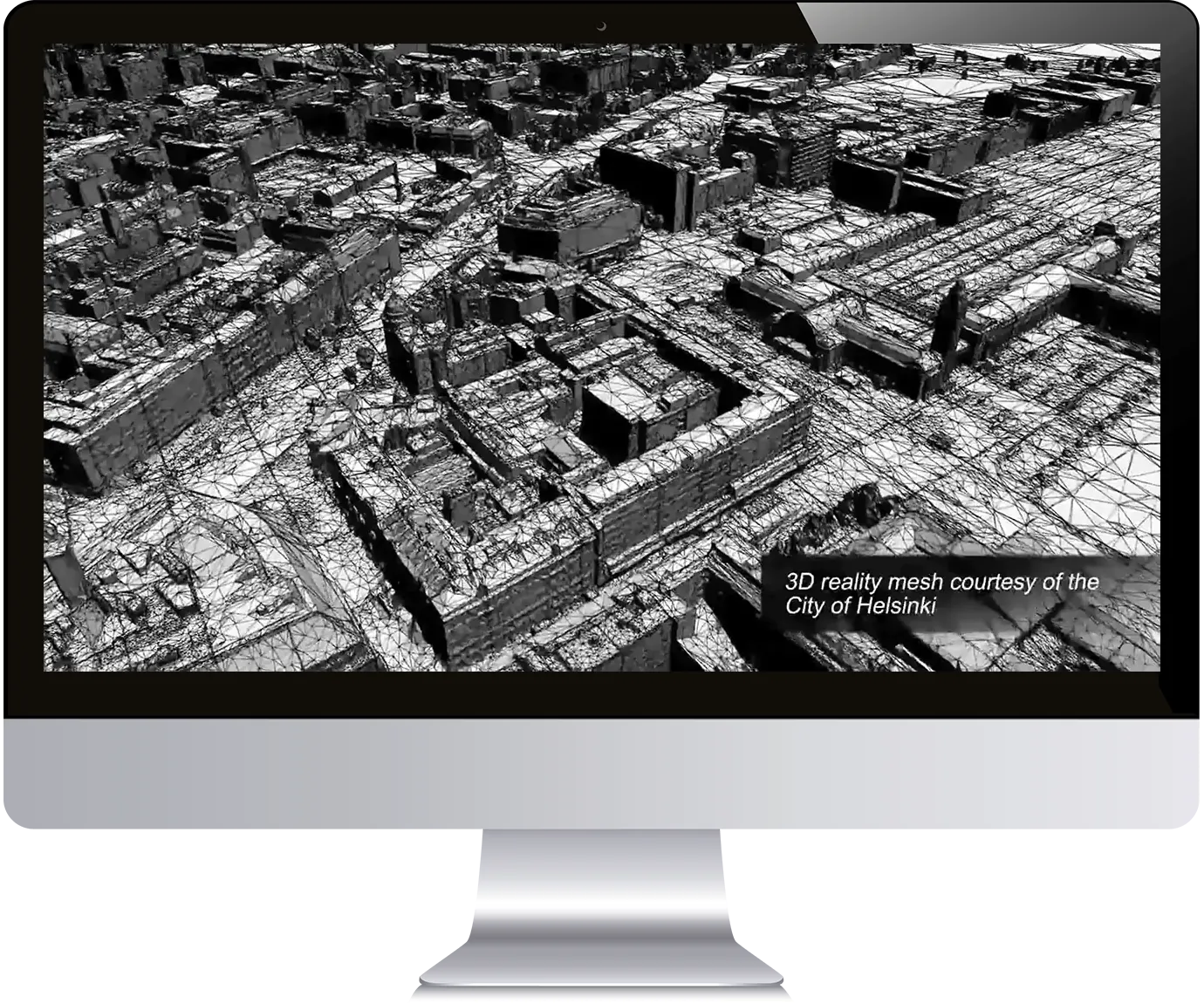
ContextCapture can create highly detailed and accurate 3D models from large numbers of photographs. The software uses advanced algorithms to automatically match and align the photographs, creating a 3D point cloud of the structure or area. From this point cloud, a highly detailed and accurate 3D mesh can be generated. This process is known as photogrammetry and is a quick and efficient way to create detailed 3D models of existing structures.
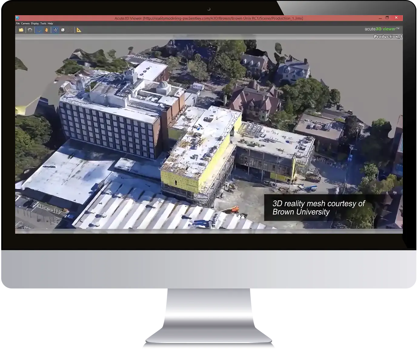
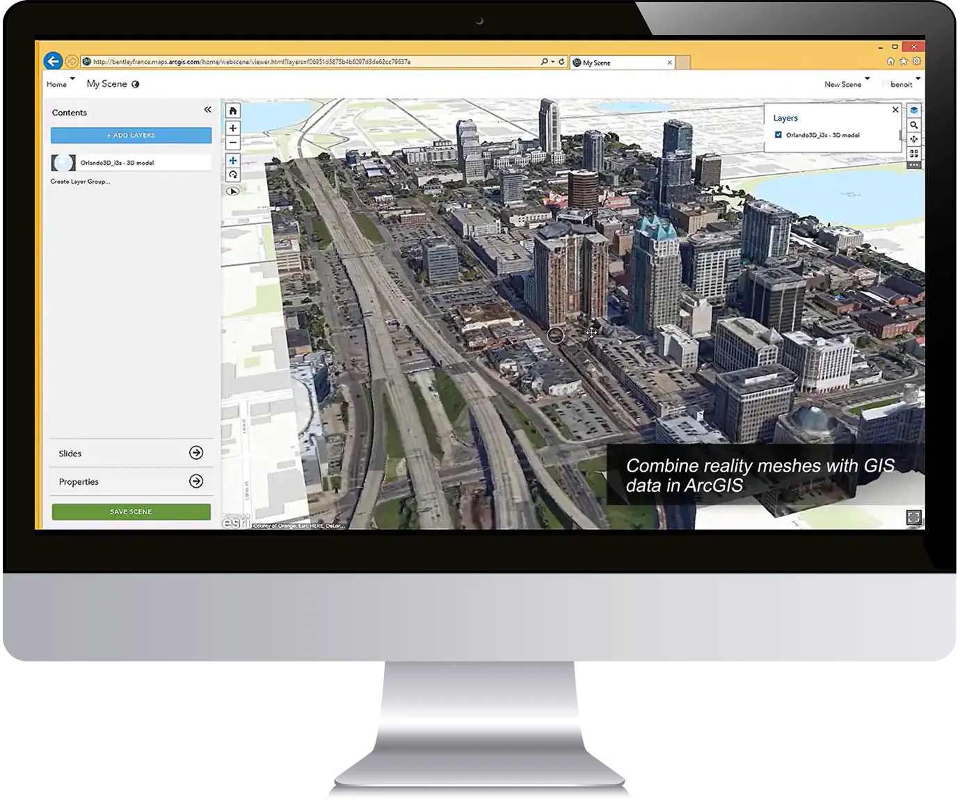
ContextCapture includes tools for editing and refining the 3D models. Users can easily remove unwanted objects or features, such as trees or vehicles, from the model. They can also add new features or objects to the model, such as signs or lights. The software also includes a wide range of tools for measuring and quantifying different aspects of the model, such as distances, areas, and volumes.
One of the main benefits of using ContextCapture is its ability to create detailed and accurate 3D models of existing structures quickly and efficiently. This can save a significant amount of time and money compared to traditional surveying methods. The software can also be used to create detailed models of large and complex structures, such as airports and bridges, which would be difficult or impossible to survey using traditional methods.
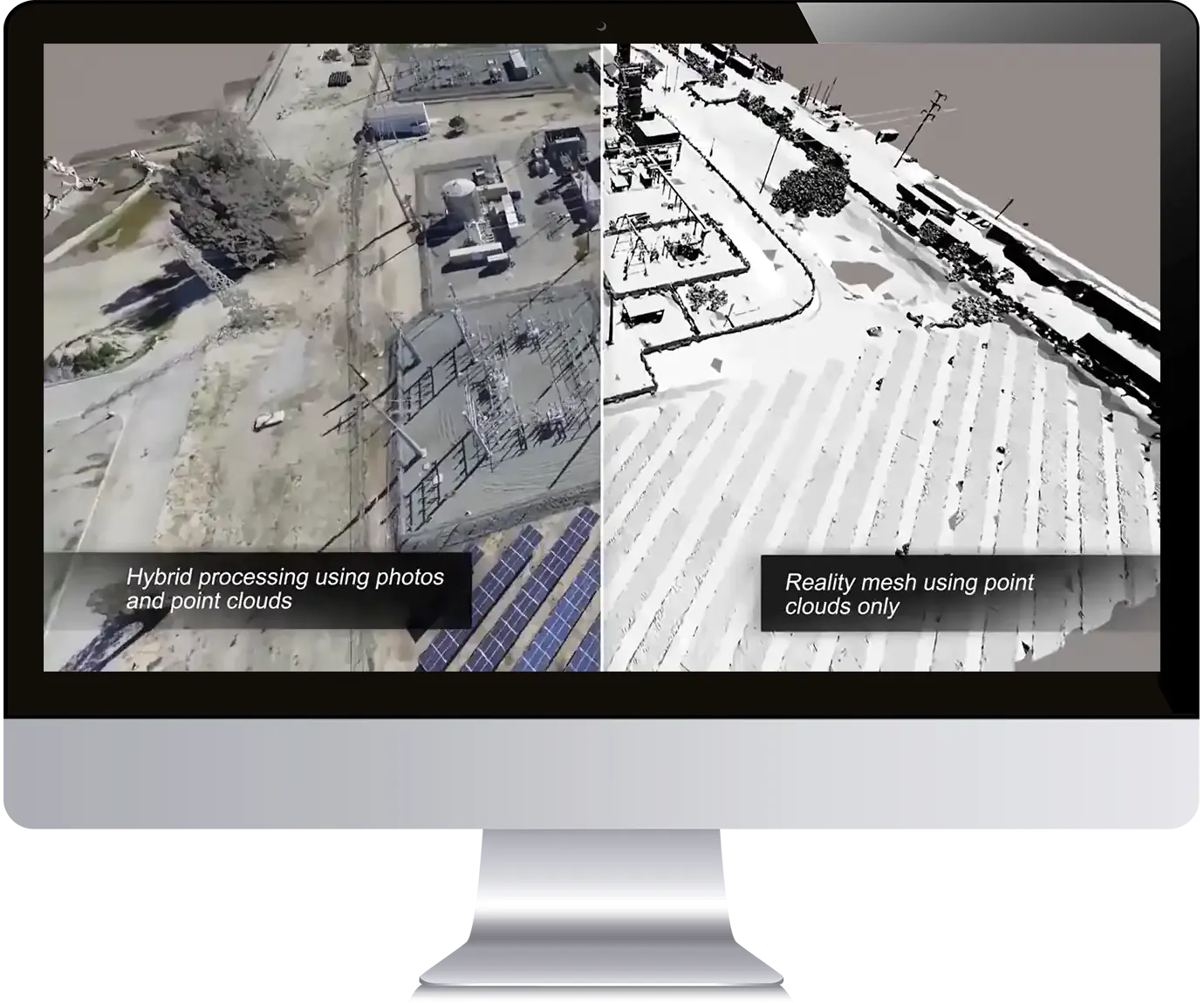
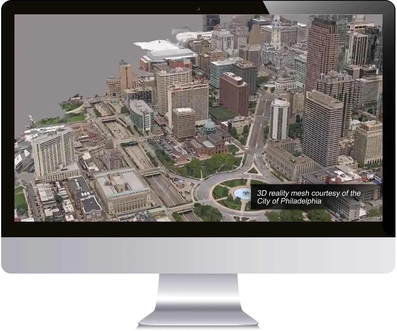
ContextCapture creates accurate and up-to-date models of existing structures. Traditional surveying methods can be time-consuming and expensive, and the resulting models may not be as accurate or up-to-date as those created using ContextCapture. The software allows users to quickly and easily update the models as needed, ensuring that they always have the most accurate and up-to-date information available.
ContextCapture is used for a wide range of applications, including design, planning, and maintenance. The detailed and accurate 3D models created using the software can be used to design new structures or infrastructure, plan for maintenance and repair work, and analyze the condition of existing structures. The software can also be used to create detailed visualizations and animations of the structures, which can be used for presentations and other marketing materials.
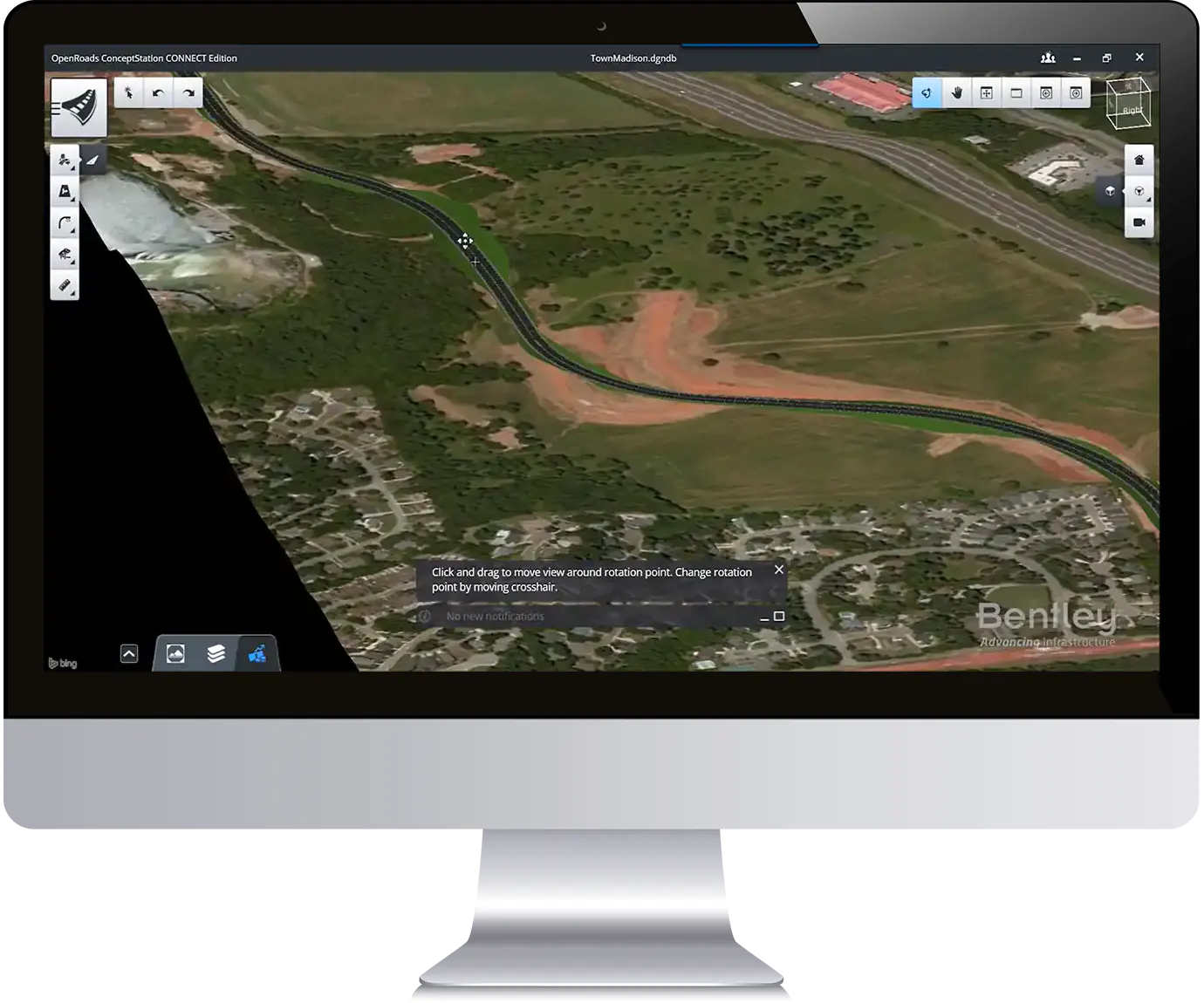
ContextCapture integrates with other software programs, such as Bentley MicroStation and AutoCAD, to enable seamless workflows and data sharing. This allows users to easily incorporate the detailed 3D models into their design and analysis workflows, streamlining the process and reducing the risk of errors.
KEY Features of ContextCapture
- Photogrammetry capabilities: ContextCapture uses advanced algorithms to automatically match and align large numbers of photographs to create a 3D point cloud of the structure or area. This process is known as photogrammetry and is a quick and efficient way to create detailed 3D models of existing structures.
- Editing and refining tools: The software includes tools for editing and refining the 3D models, such as removing unwanted objects or features and adding new ones. It also includes a wide range of tools for measuring and quantifying different aspects of the model, such as distances, areas, and volumes.
- High accuracy and detail: ContextCapture produces highly detailed and accurate 3D models of existing structures, which can be used for design, planning, and maintenance purposes.
- Up-to-date models: The software allows users to quickly and easily update the models as needed, ensuring that they always have the most accurate and up-to-date information available.
- Wide range of applications: ContextCapture can be used for a wide range of applications, including design, planning, and maintenance. It can also be used to create detailed visualizations and animations of the structures, which can be used for presentations and other marketing materials.
- Integration with other software: The software can be integrated with other software programs, such as Bentley MicroStation and AutoCAD, to enable seamless workflows and data sharing.
- Advanced visualization: The software includes advanced visualization tools that allow users to create high-quality renders and animations of the 3D models
- Automated workflows: ContextCapture includes automated workflows that can be used to streamline the process of creating 3D models