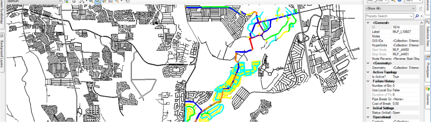
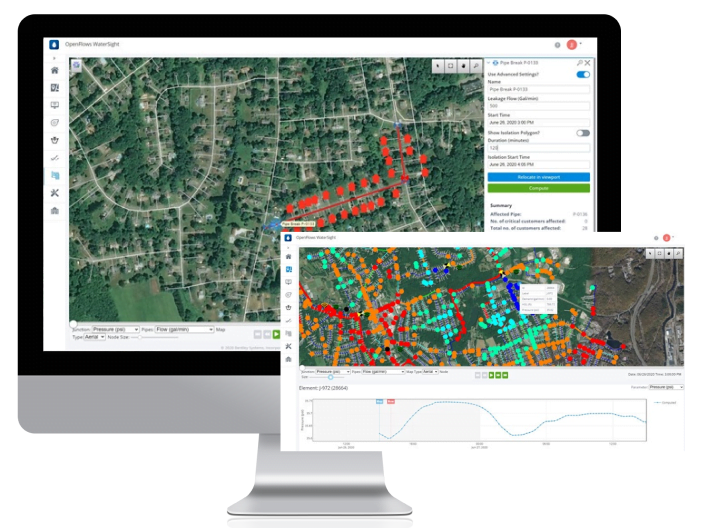
Digital twin for smart water technology will redefine how you plan, design, and operate your water infrastructure. The result of a digital twin is an intelligent, connected digital infrastructure model that supports planning, design, construction, and operations for smart water systems. Digital twins provide accurate, reliable data that you can use to perform what-if analyses and make informed decisions throughout the lifecycle of a water system—from long-term system vulnerability and capacity planning to immediate performance monitoring and emergency response.
Benefits of Using Digital Twins
Link your Physical Asset with Digital Asset
Verify the as-built situation
Twins can also test construction sequencing and logistics scenarios, verify the as-built situation.
Multi-dimensional view of Facility
A digital twin gives a multi-dimensional view of how a facility is designed, built, and is performing throughout its lifecycle.
Improving operational efficiency
Increase productivity, improve control and drive more stable and reliable operational performance
Run ‘what if’ simulations and scenarios
Using live data from sensors to optimise performance and sustainability
Track Change and perform Analysis
Enables visualization of the asset across its entire lifecycle, track change, and perform analysis to optimize asset performance.
Understanding of asset condition
Digital twin support asset condition monitoring and anomaly detection in daily O&M.
Business Outcome
Ensuring Physical, Environment and Finanicial safety
Compliance with industry and Government Regulations
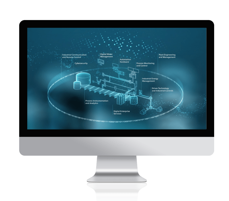
Digital Twin Technology for Smart Water Networks
Ensuring Physical, Environment and Finanicial safety
Digital Twin Technology for Smart Water Networks
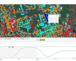
Control pressure
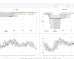
Detect system anomalies
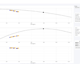
Enhance energy use
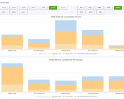
Identify where your water is going
Why digital twins matter
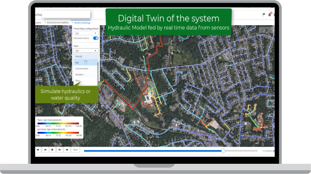
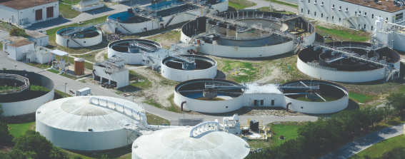
By incorporating a hydraulic/water quality model of the system that reflects currentconditions, digital twins enable utilities to simulate events such as pipe failure, power outages, fires, and contamination. As a result, the model helps utilities analyze the resilience of their systems and assess their risk.
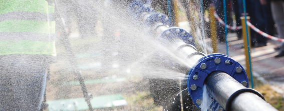
Continuously updating digital twins with measured operational data helps a utility determine the location of potential leaks as well as reduce water loss.

OpenFlows WaterSight enables computation of present, historic, and forecasted performance for every asset within the system. Users can confidently share with stakeholders detailed graphics of current system performance, as well as the expected consequences and improvement for actions related to operational and maintenance activity. Moreover, you can virtually test and simulate response measures for emergency situations, such fires, pipe breaks, pump outages, or other time-critical events.
Advancing Digitalization with Live Visualization and Data Intelligence
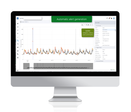
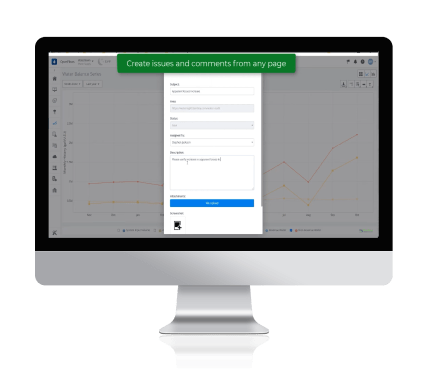
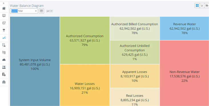
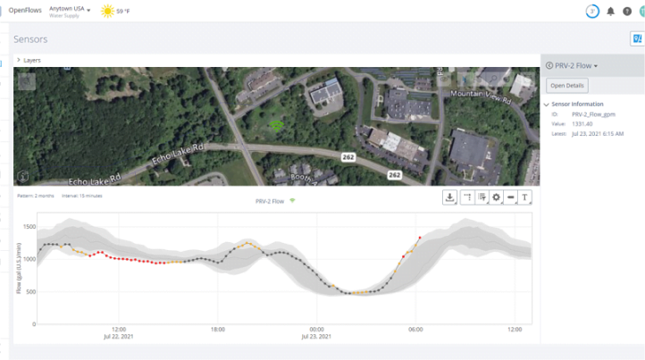
The key feature of digital twins that differentiates it from other technologies is that it is not a single technology, but is based on integration of multiple software technologies to support decision-making. In our offering, we have tools to:
- Display system status and alerts in a useful dashboard format
- Predict problems before they happen using modeling
- Respond to emergencies using modeling
- Display SCADA and IoT data to identify anomalies in various data based on historical patterns
- Develop water balances on different temporal and spatial scales using metering and SCADA data
- Detect pumping operation and equipment that may not be operating as efficiently as possible
- Provide input to asset management decisions
Case Study
Innovators in water, sewer, and stormwater projects
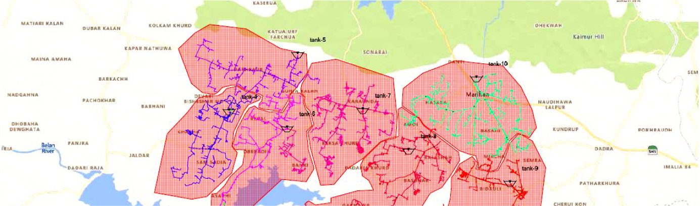
Maynilad Water Services operates 67 active pump-fed areas with 1.08 million water service connections in the West Zone of metro Manila. To ensure cost-effective, efficient pumping operations, they continually manage the pumping stations and inline boosters. However, their manual processes using disparate databases often resulted in high nonrevenue water due to excessive pressure. They sought an integrated digital solution to optimize pumping operations. They selected OpenFlows WaterGEMS for hydraulic modeling and data analytics, digitalizing their pump operation optimization process, and chose a priority facility to pilot their process. Using Bentley’s interoperable, open application simplified data integration, enabling them to establish an integrated digital twin of the facility network. Based on the model, they determined the pumping inefficiencies and implemented corrective maintenance, resulting in a projected plant power reduction of 13% and saving USD 4,000 annually. The results promote using digital twins to optimize all 67 pumping facilities, greatly reducing total energy consumption, costs, and their carbon footprint.
Innovators in water operations
The city of Joinville experienced their worst water crisis in 30 years. Responsible for supplying water and sanitation services to approximately 600,000 residents in the municipality, CAJ-Joinville Water Company initiated a project to develop a contingency plan to maintain water supply during worsening drought conditions. They evaluated three alternatives in the preliminary study. However, their initial solution yielded insufficient flow transfer, water shortages at the weakest points in the supply system, and a reduction in water transport efficiency. As a result, they needed to implement a more comprehensive study of the municipality’s entire network. CAJ-Joinville Water Company used OpenFlows WaterGEMS to create a digital twin of the distribution system, modeling 285 kilometers of network. Using the hydraulic model to simulate a new contingency plan, they determined an optimal solution that guaranteed supply in the event of severe drought, while saving approximately BRL 4.5 million compared to their original proposal. The Bentley-based scenario improves flow efficiency, reduces pumping costs, and cuts energy consumption by 574 megawatts per year.