CTtec is Authorised Bentley Channel Partner for Transportation Analytics in the UK, UAE, Qatar, Middle East & India
Software
Transportation Analytics
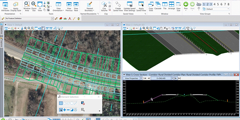
Use integrated Transportation Analytic data and IoT for sustainable urban mobility solutions.
- Handle the rigors of complex transport systems
- Advanced vehicle-based traffic simulation
- Complex transportation forecasting
- Produce captivating data visualizations
Transport Analytics
Every day, thousands of transport planners around the world use INRO software to model urban, metropolitan and regional transportation systems, and to evaluate the transport policy that affects us all. INRO designs and develops the world’s most powerful and proven transport planning technology. INRO software is built to handle the rigors of complex transport systems; to account for the diverse technological, social, and economic challenges facing planners today.
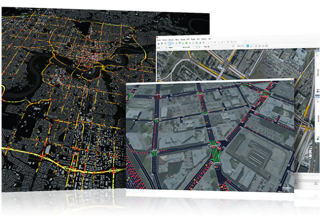
- Model people, places, travel, options and mobility services
- Simulate multimodal transport systems
- Model Transit System, Ridership and Route choice
- Study imapcts of pricing, policies and infrastructure
- Forecasr travel, accessibility and congestion
- Create data-driven transit service planning models from transit fare card data
Streetlytics
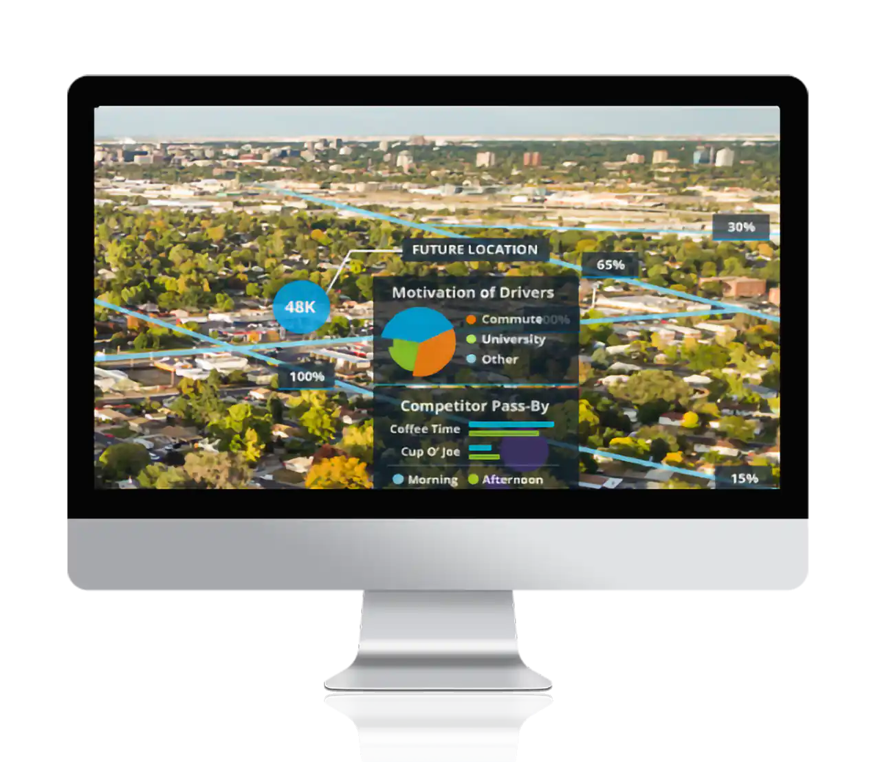
Streetlytics is the digital twin of population movement throughout the united states and canada. The streetlytics analytics platform represents the total number of people and vehicles moving from place to place through the multi modal transportation system. This platform and the corresponding streetlytics data are designed to respect historical data, such as traffic counts, and new mobility data sources, such as mobile device and vehicle probe data
- Superior Data Quality
- Conservation of Flow
- Comprehensive Data Coverage
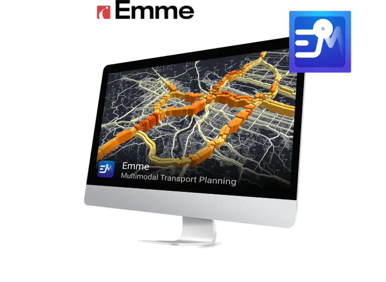
Multimodal Transportation Planning
Emme is a complete travel demand modelling system for urban, regional and national transportation forecasting . Emme is used in over half the world’s most populous cities and runs some of the world’s most complex transportation forecasting models. Emme is a complete travel demand modelling system for urban, regional and national transportation forecasting. Emme is used in over half the world’s most populous cities and runs some of the world’s most complex transportation forecasting models.
- Automate models, maps and workflows
- Modelling
- Automate models, maps and workflows
Multiscale Traffic Simulation
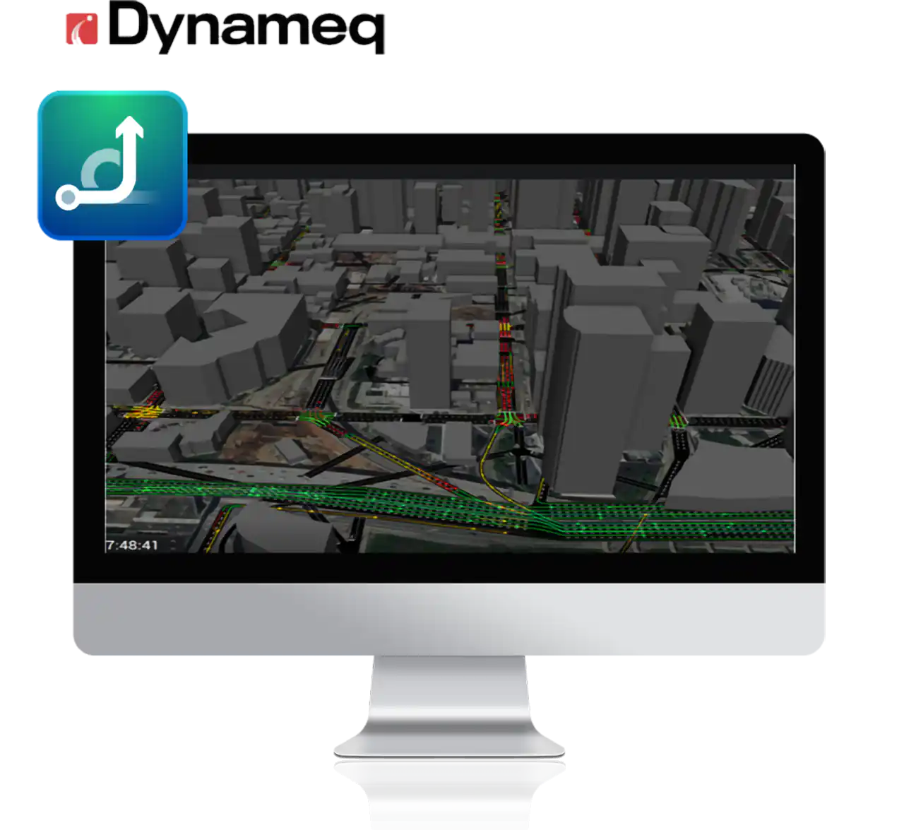
Dynameq provides an advanced vehicle-based traffic simulation and simulation-based dynamic traffic assignment (DTA) that allows even large, congested applications to be modelled reliably within a single traffic model and at a consistent level of detail throughout the entire network.
- 3D, 360° Simulation Playback
- One Model, Many Applications
- Freeways and Active Traffic Management
Data Visulaization and Visual Analytics
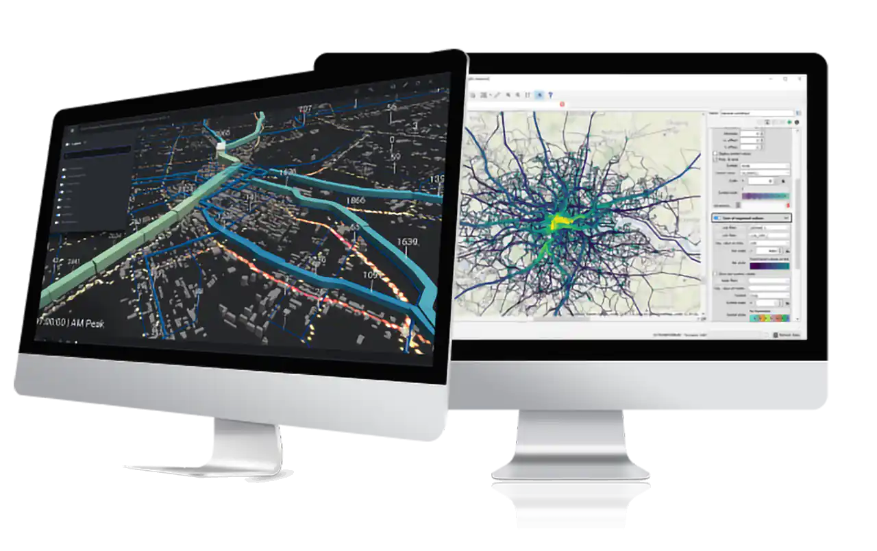
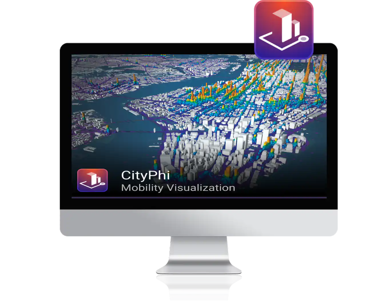
CityPhi makes it easy to produce captivating data visualizations, interactive animations and insightful analytics about mobility and location. Governments and the private sector are collecting and simulating increasing amounts of mobility data. Yet many data sets are never explored or understood in detail. From quality assurance to interactive exploration, discovery and presentation, CityPhi provides a lens that helps you discover, troubleshoot, trust and analyze your data.
- Interactive and High Performance
- Explore and Engage
- From Data to Viz, Fast
Predictive Modeling and Simulation of Transportation
CUBE is a powerful tool for transportation planners,transportation engineers, and city planners to clearly visualize and easily test varied scenarios to comparepotential benefits and be aware of unexpectedconsequences. Being armed with this knowledge saves time, money, review cycles, and debates aschanges are proposed before entering the oftenlengthy and time-consuming design process.
- Scalable and Comprehensive
- Data Management
- Define and organize an unlimited number of scenarios
Product Tiers
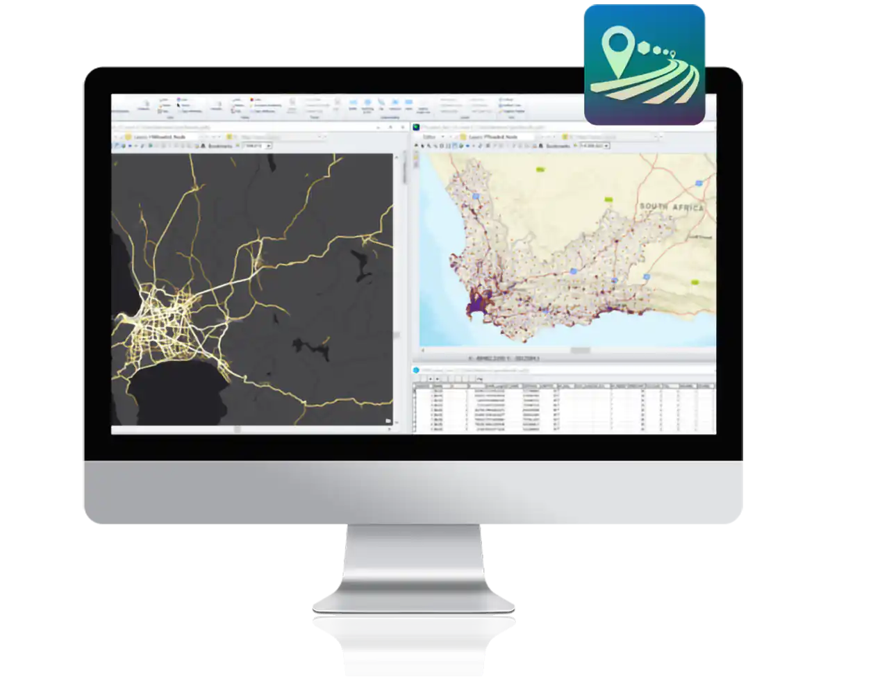
CUBE Voyager – supports macroscopic movement of people and vehicles with the customization necessary to create the best plan for your area without limitations
- Network – Network editing
- Matrix – Demand modeling, big data analysis
- Highway – Zone-to-zone route analysis
- Public Transport – Public transport modeling
- Analyst – Matrix estimation
- Cluster – Multicore processing
- Scalable and Comprehensive
- Data Management
- Define and organize an unlimited number of scenarios
CUBE Avenue
CUBE AVENUE is a dynamic traffic assignment extension for Cube Voyager. Cube Avenue models traffic at greater levels of detail than macroscopic models, like CubeVoyager’s Highway program, and at lesser levels of detail than microscopic models, like Cube Dynasim. Cube Avenue is easy to use and works with traditional four-step transportation planning models or with any model type that uses highway assignment.
- Quantify impacts of upstream traffic congestion
- Measure queuing at intersections and merge points in a network
- Isolate secondary impacts from one intersection through another
CUBE Land
Citilabs’ CUBE Land, an extension of CUBE Voyager, is an econometric land-use allocation model that brings realistic land-transport interactions into the modeling process. As the transport system changes, the levels of congestion and accessibility change, impacting the value and development of land. Using mathematical models and accessibility data from CUBE Voyager, CUBE Land forecasts land use by simulating the real estate market under different economic conditions, as well as considering complex aspects like land use externalities.
- Uses the most commonly available data for preparing scenarios and provides travel model inputs and easy data sharing within a familiar Interface.
- Provides greater accuracy, easier calibration, and explicit interaction between consumers, suppliers, and groups of agents (households and firms).
- Flexibility for treating the effect of transport on land use as well as flexibility in data input definitions, such as zoning detail, drivers, and market segmentation.
CUBE Cargo
A freight modeling software, CUBE Cargo has a library of programs for modeling freight demand throughout a city or at a regional and long-distance scale, to understand or predict the impact of commodity flows. CUBE Cargo offers freight-specific capabilities to represent multiple commodity groups, logistical nodes where transport mode or vehicle may change, a module to model touring vehicles, and a module for local service vehicles.
- Partitions the long-haul matrices by mode and commodity class into direct flows and transport chain flows.
- Redistributes from coarse zones to fine zones for each of the matrices
- Converts the estimated annual commodity flows by truck into the number of heavy trucks and light trucks.
CUBE Dynasim
CUBE Dynasim manages all aspects of the simulation project to give you the ability to easily build, manage, and run an unlimited number of simulation scenarios. For the best experience, iterate simulated delays from CUBE Dynasim with the advanced routing of CUBE Voyager and CUBE Avenue. The layer-based network construction allows you to tweak and filter the simulation components such as performance metrics, summary reports, statistical analysis, and 2D and 3D animations to create unique network alternatives
- Mix and match network alternatives, signal timing plans, public transport routes and schedules, traffic counts, and flow profiles.
- A dedicated extension to simulate parking, from very simple on-street parking spots to extremely large and complex parking structures.
- Converts the estimated annual commodity flows by truck into the number of heavy trucks and light trucks.
CUBE Access
CUBE Access is the perfect tool to quickly score and understand your community’s accessibility to employment opportunities, daily errands, public services, and much more. Using the superior transportation planning software, you can analyze data to calculate an accessibility score to identify any gaps in livability and inform community planners and leaders on how to address those gaps.
- Calculate accessibility via walking, biking, using public transportation or automobiles.
- Quickly test and compare proposed changes to your city’s transportation and land use.
- With access scores, compare and visualize transportation impacts across demographic groups and different neighborhoods. Document economic growth drivers in a region as well as potential opportunities for transit-oriented development.


