Software
OpenFlood: The Advanced Flood Simulation Software for Hydrologic and Hydraulic Modeling
OpenFlood: The Advanced Flood Simulation Software for Hydrologic and Hydraulic Modeling
OpenFlows Flood is a software solution for the modeling, analysis, and design of floodplain management and floodplain mapping. It helps engineers, planners, and other professionals plan for and manage the risk of flooding by providing advanced tools for simulating the impact of different flood scenarios, creating detailed models of floodplains, and identifying critical infrastructure and other assets at risk. OpenFlow Flood is used for:
- Floodplain mapping and analysis: OpenFlows Flood includes advanced floodplain mapping and analysis capabilities that allow users to create detailed models of floodplains and simulate the impact of different flood scenarios.
- 2D and 3D modeling: The software can be used to create 2D and 3D models of floodplains, including digital elevation models, terrain models, and hydrological models.
- Hydraulic and hydrodynamic modeling: The software includes a wide range of tools for simulating the flow of water, including tools for analyzing the impact of different flood scenarios.
- GIS integration: OpenFlows Flood can be integrated with GIS systems to provide spatial visualization of the floodplain and to enable data sharing and analysis.
- Risk and vulnerability assessment: The software includes tools for assessing the risk and vulnerability of different areas to flooding, including tools for identifying critical infrastructure and other assets at risk.
- Floodplain management: OpenFlows Flood includes tools for managing the floodplain, including tools for creating floodplain maps, developing floodplain management plans, and identifying areas for floodplain restoration.
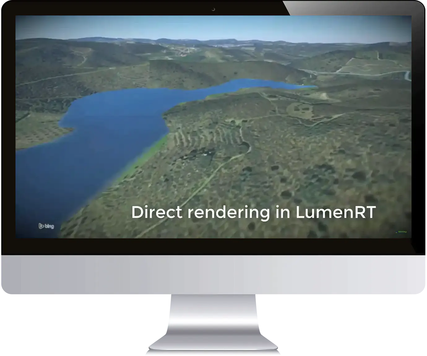
- Advanced visualization: The software includes advanced visualization tools that allow users to create high-quality renders and animations of the floodplain, including the potential impact of different flood scenarios.
- Stormwater management: The software can be used to model and analyze stormwater systems and to develop stormwater management plans.
- Technical support: Bentley provides extensive technical support, training, and resources to ensure users have access to the necessary knowledge and expertise to effectively use the software.
- Interoperability: The software can work seamlessly with other software programs and can export data in common file formats such as IFC, Revit, and AutoCAD.
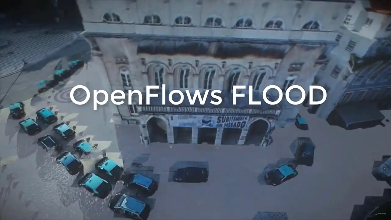
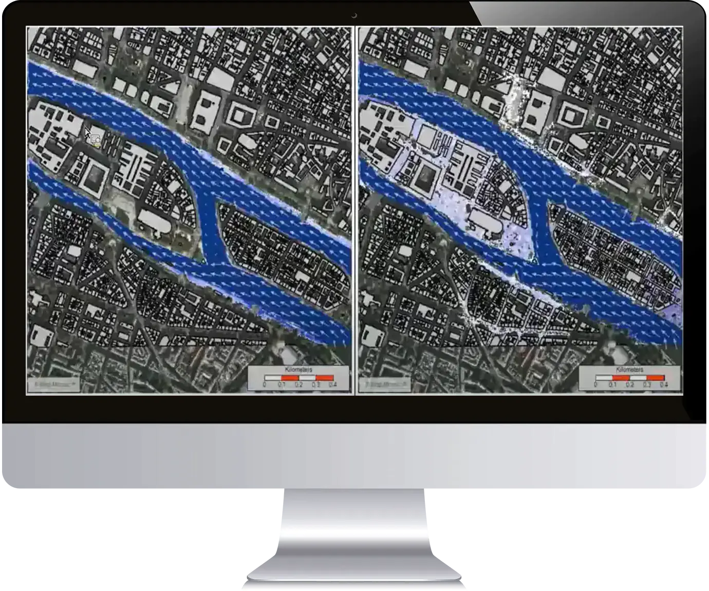
OpenFlows Flood is its ability to create detailed models of floodplains and simulate the impact of different flood scenarios. The software includes tools for creating 2D and 3D models of floodplains, including digital elevation models, terrain models, and hydrological models. It also includes a wide range of tools for simulating the flow of water, including tools for analyzing the impact of different flood scenarios.
It is GIS integration capabilities, allowing users to integrate the software with GIS systems to provide spatial visualization of the floodplain and enable data sharing and analysis. The software also includes tools for assessing the risk and vulnerability of different areas to flooding, including tools for identifying critical infrastructure and other assets at risk.
OpenFlows Flood includes tools for floodplain management, such as creating floodplain maps, developing floodplain management plans, and identifying areas for floodplain restoration. It also includes advanced visualization tools that allow users to create high-quality renders and animations of the floodplain and the potential impact of different flood scenarios. Additionally, the software can be used to model and analyze stormwater systems and to develop stormwater management plans.
Engineers uses OpenFlow flood software for :
- Accurate and detailed flood modeling: OpenFlood software provides advanced flood modeling capabilities that allow engineers to accurately simulate and analyze flooding events. This helps in better understanding of the impact of floods and the risk associated with it.
- Better understanding of flood risk and hazard zones: The software integrates geospatial data, allowing engineers to view the entire floodplain and identify high-risk areas. This information can be used to prioritize flood protection measures and evacuation plans.
- Improved decision making through scenario analysis and comparison: OpenFlood enables engineers to create and compare different scenarios to evaluate the impact of proposed solutions. This helps in making informed decisions regarding flood management strategies.
- Integration of geospatial data: The software integrates geospatial data such as elevation, land use, and hydrologic information to provide a comprehensive view of the floodplain. This helps in identifying potential risk areas and makes it easier to plan and design flood protection measures.
- Ability to conduct real-time flood forecasting: OpenFlood provides real-time flood forecasting capabilities, allowing engineers to respond quickly to changing conditions. This can help reduce the impact of floods on communities and minimize damage.
- Improved project design and planning through visualization and analysis tools: The software provides advanced visualization and analysis tools that enable engineers to view and analyze data in 2D and 3D. This helps in better design and planning of flood protection measures.
- Integration with other Bentley software products: OpenFlood integrates with other Bentley software products, such as MicroStation and ProjectWise, allowing for a streamlined workflow.
- Support for various hydraulic and hydrologic models: OpenFlood supports a wide range of hydraulic and hydrologic models, including HEC-RAS, MIKE FLOOD, and TUFLOW, giving engineers the flexibility to choose the best model for their needs.
